Built by a hiker, for hikers.
dddmaps turns your routes and places into cinematic 3D videos, right in the browser. I built it for people like me — hikers, runners, cyclists, and travelers who want a fast, good-looking way to show where they went.
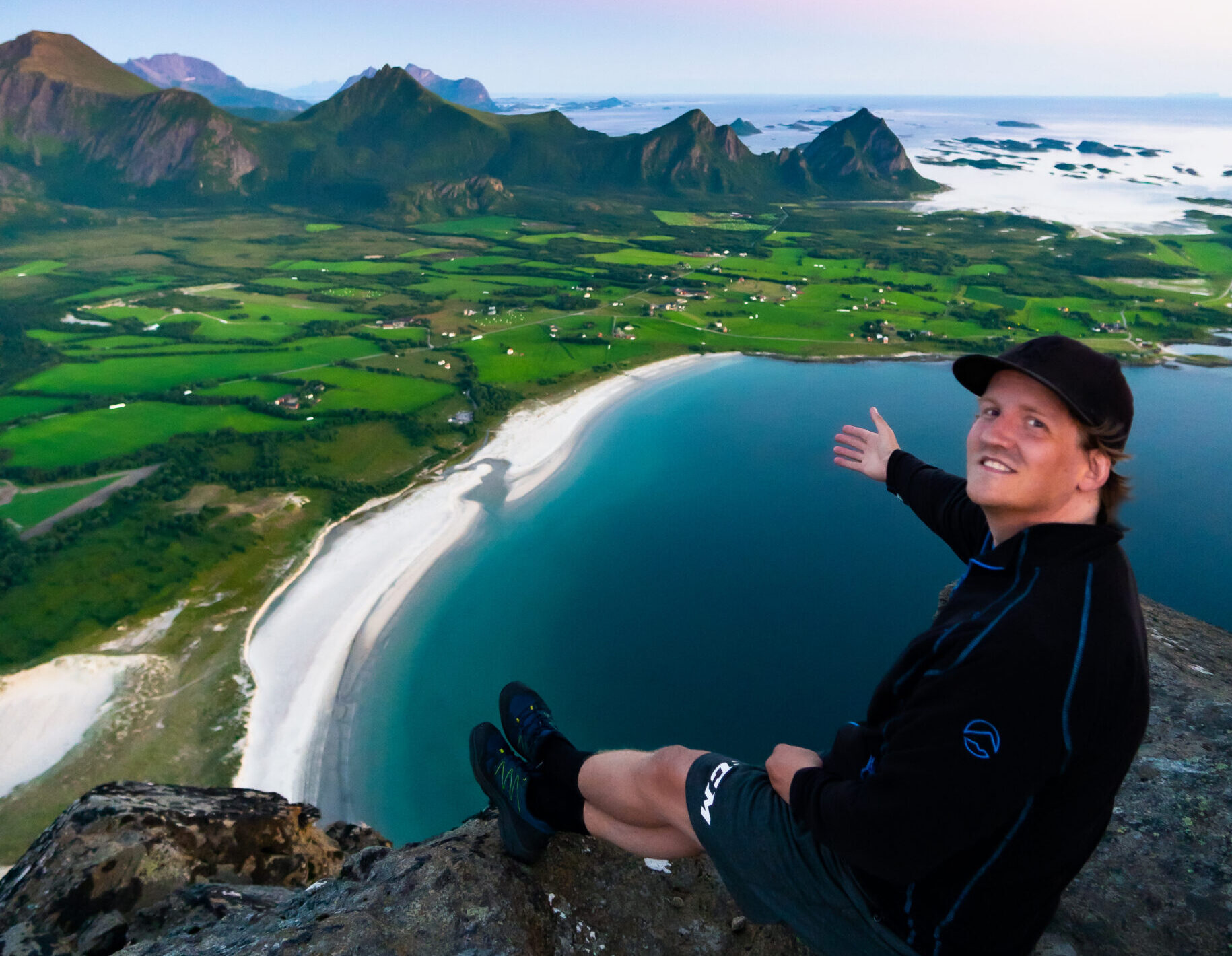
Hi, I'm Tobias.
I hike a lot — especially in Lofoten, where almost every trail ends with a view worth sharing. I kept wanting to show friends online where I'd actually been, but a flat screenshot with a line drawn on it never did the place justice. So I built a way to turn a route into a 3D video instead.
I wanted my routes to feel as alive as the hike itself — not like a flat map with a line on it.
The idea is simple: upload a GPX, pick a hike, or choose a place on the map. Preview the camera move in your browser, adjust the look, and export an MP4 when it feels right. I also run Lofoten Hikes, a trail guide for the islands I know best — and a big reason I made dddmaps was to help other people find and follow great routes, not just to show off my own.
Fast by design
It's not trying to replace professional editing software. It's built to make a great-looking map video quick and easy — the kind you can post the same evening you get home.
Built around GPX
Use a GPX from Strava, Garmin, Komoot, Wikiloc, AllTrails, or any other app. Or skip the file and search for a hike directly on the map.
Made by a real hiker
I use dddmaps myself, on real trails, and improve it based on what people try, break, and ask for. Feedback, bugs, and real examples shape what I work on next.
Pick the kind of video you want
Route flyover
Upload your GPX or pick a famous hike. The camera follows the trail through 3D terrain — perfect for trip recaps and race highlights.
Try it free ->Location zoom-in
Start from space, end on a peak, a trailhead, or a cabin. Great for travel intros and "this is where it happened" reveals.
Try it free ->